Live auction - Lot 525
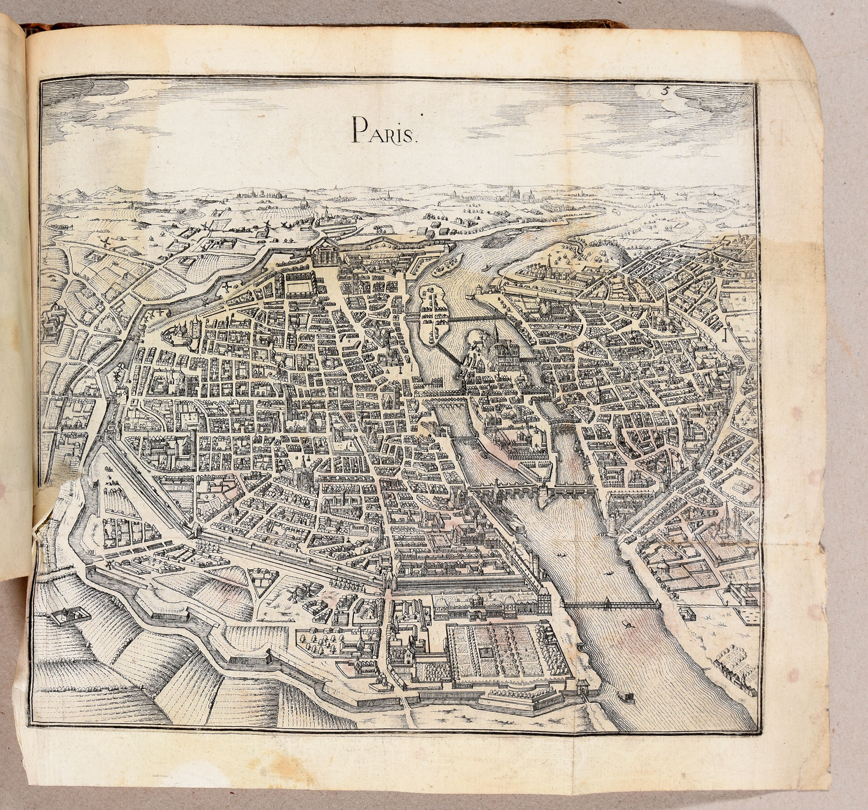
[Atlas - France]
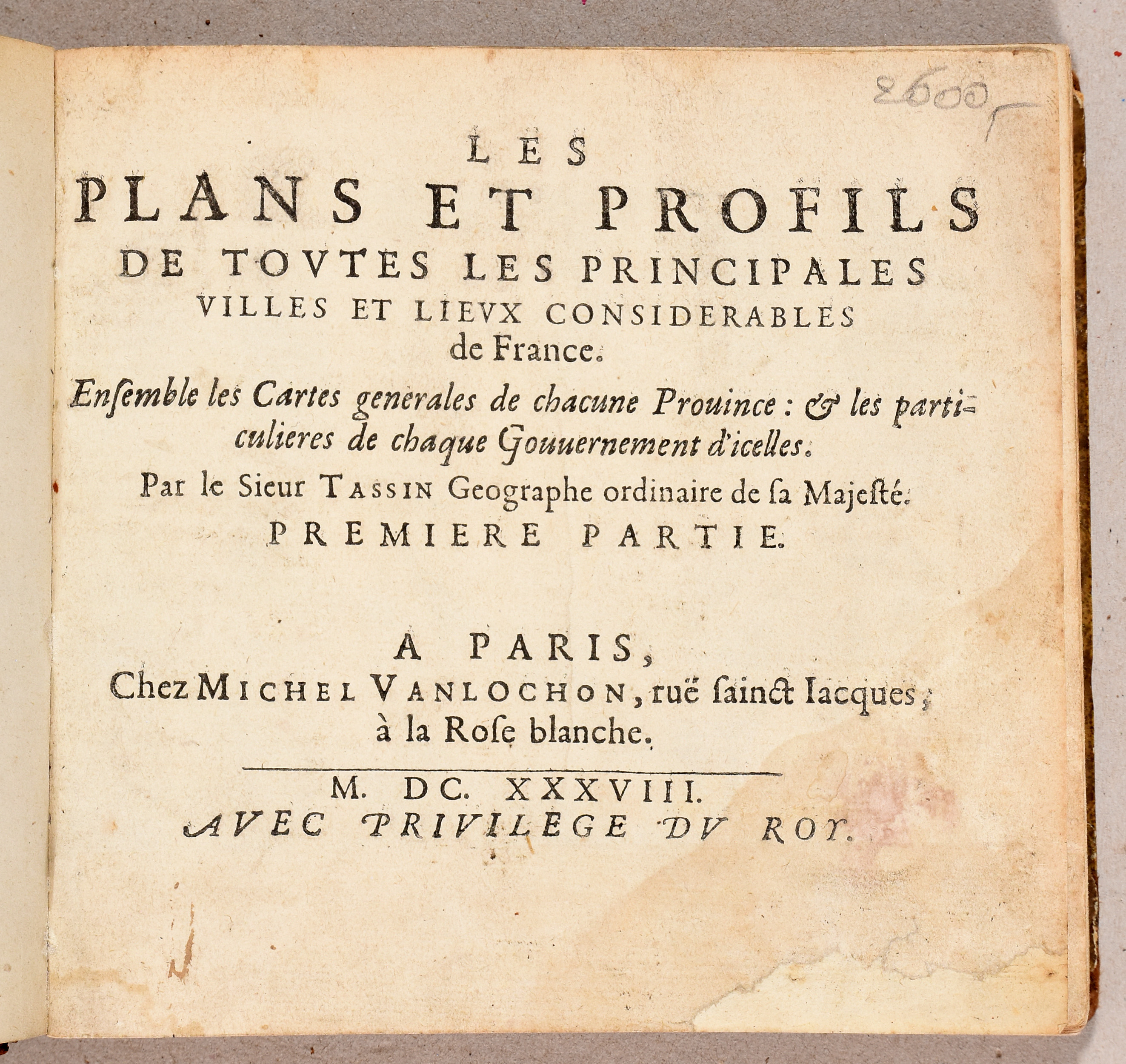
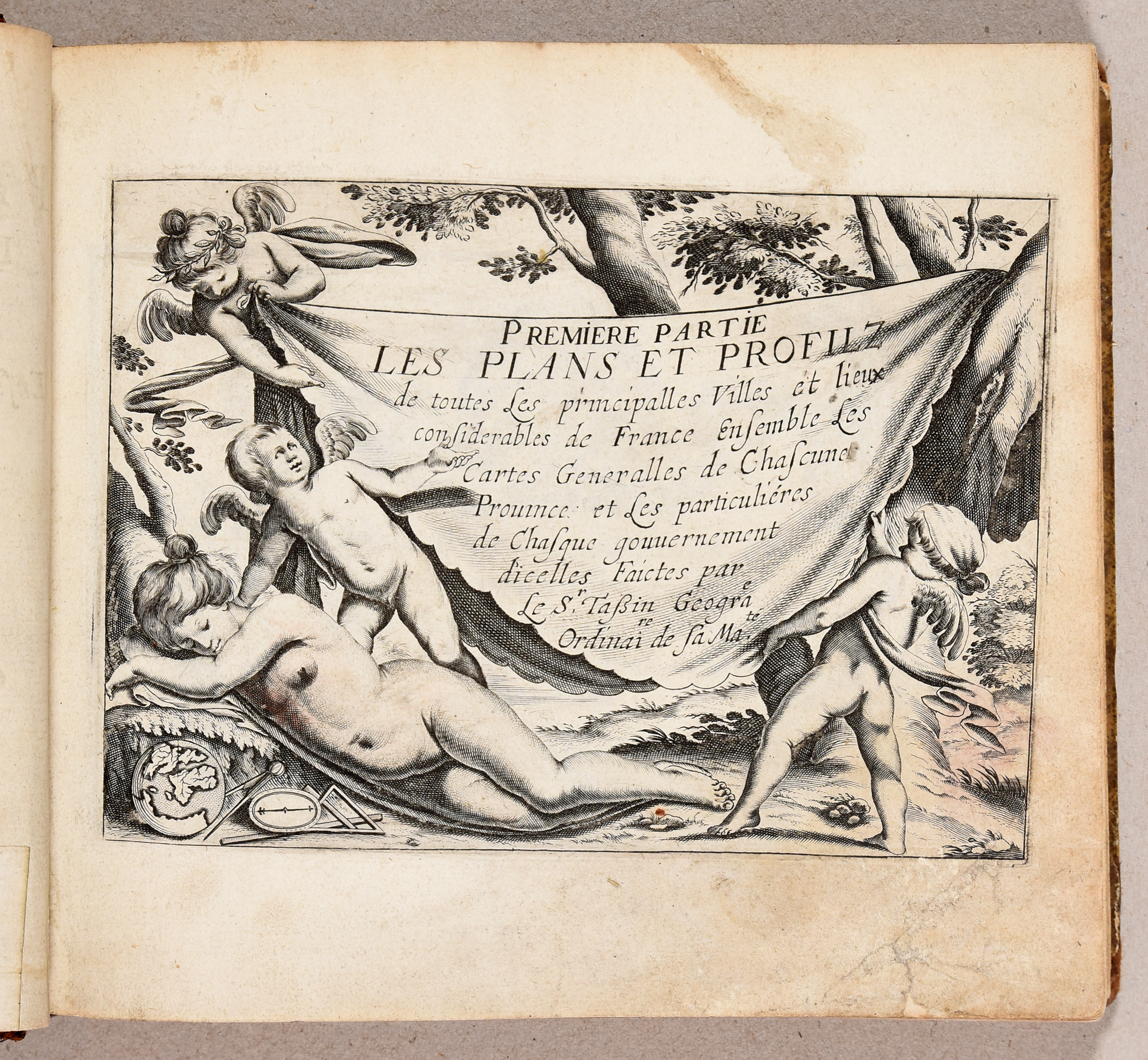
Les plans et profils de toutes les principales villes et lieux considérables de France. Ensemble les cartes générales de chacune province [...].
Paris, M. Vanlochon, 1638
Hammer price: €
650
€ 500 / 600
Live bidding (Drouot*) Live bidding (Invaluable*)Bidding is closed
Lot description
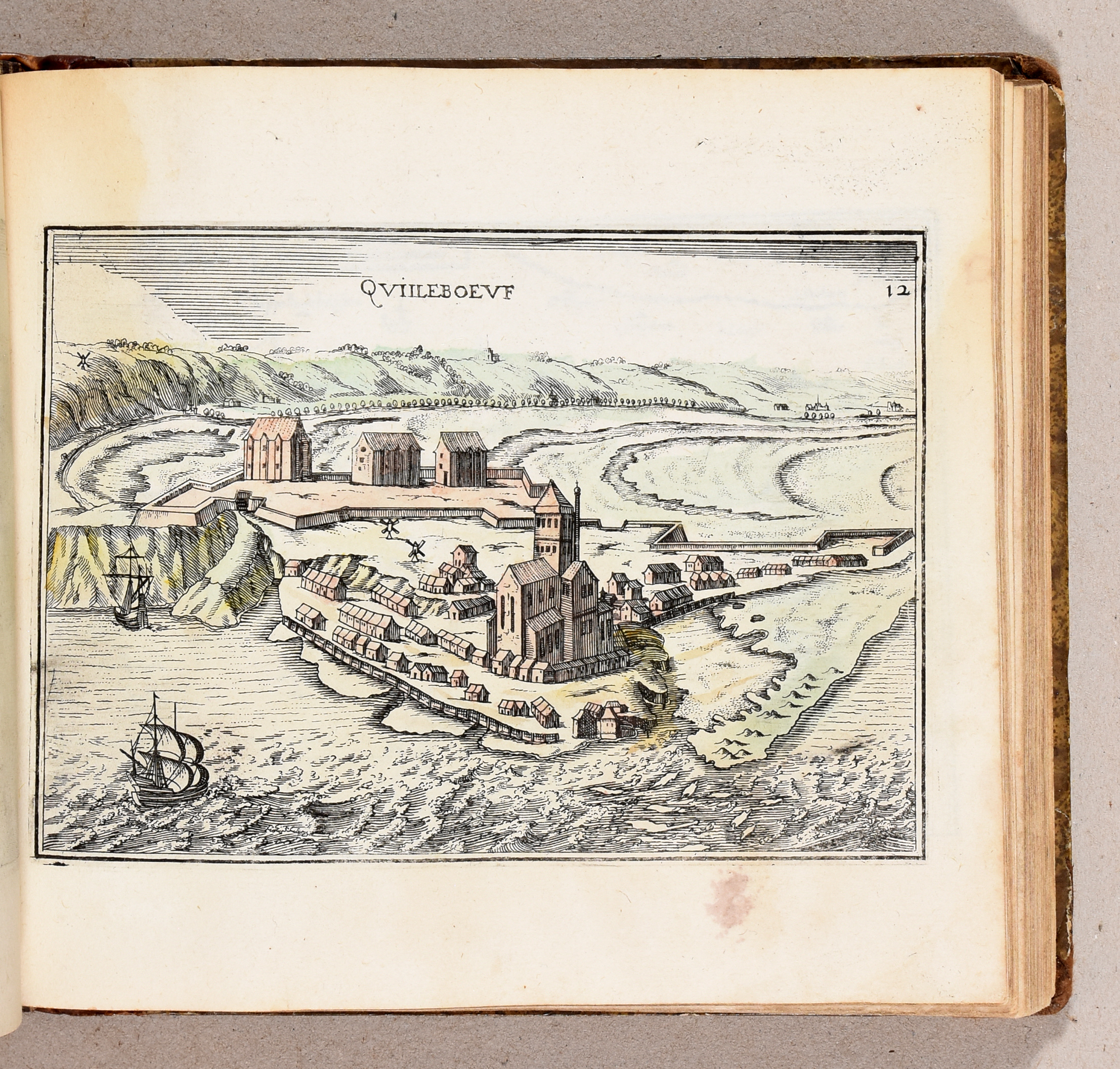
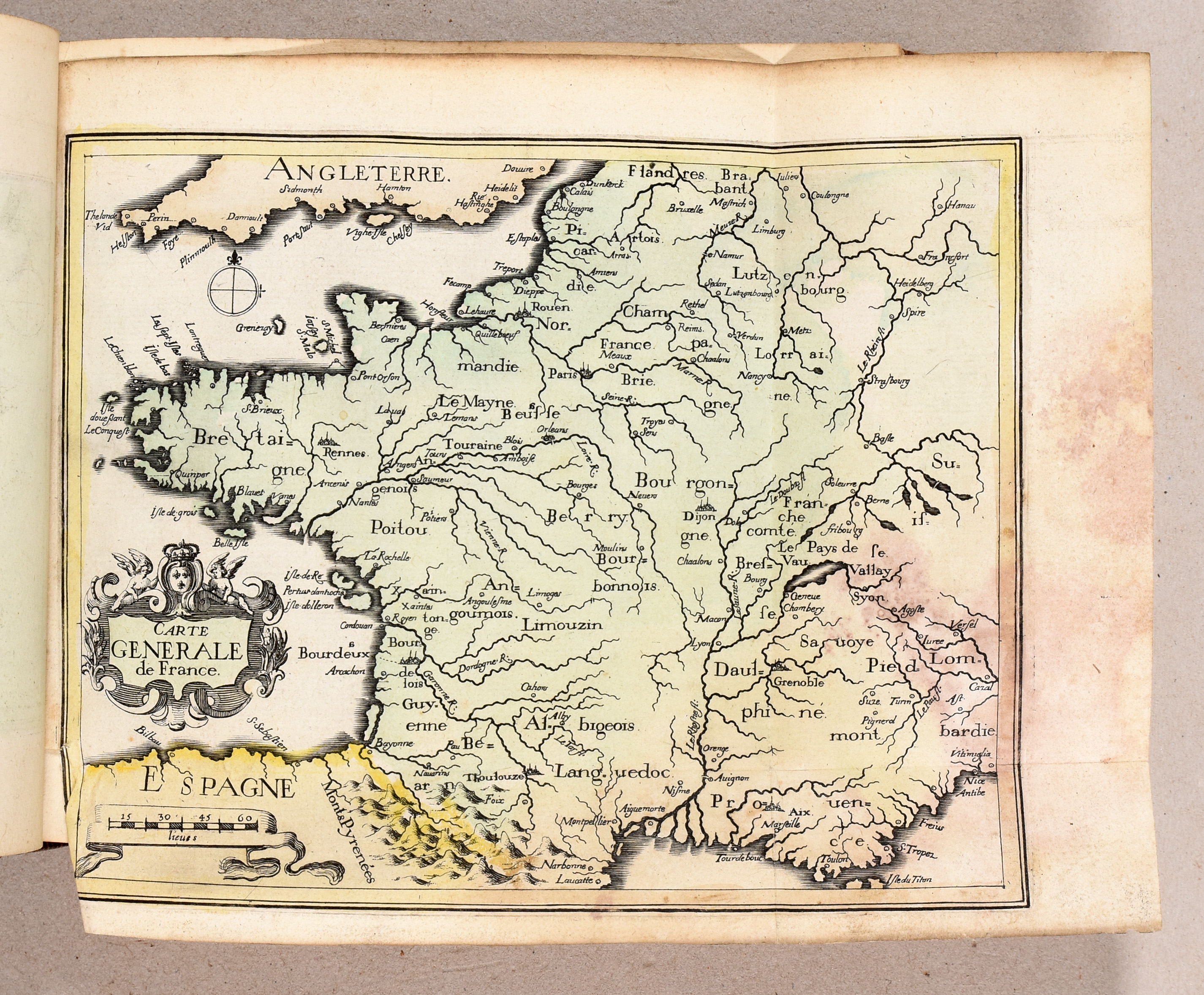
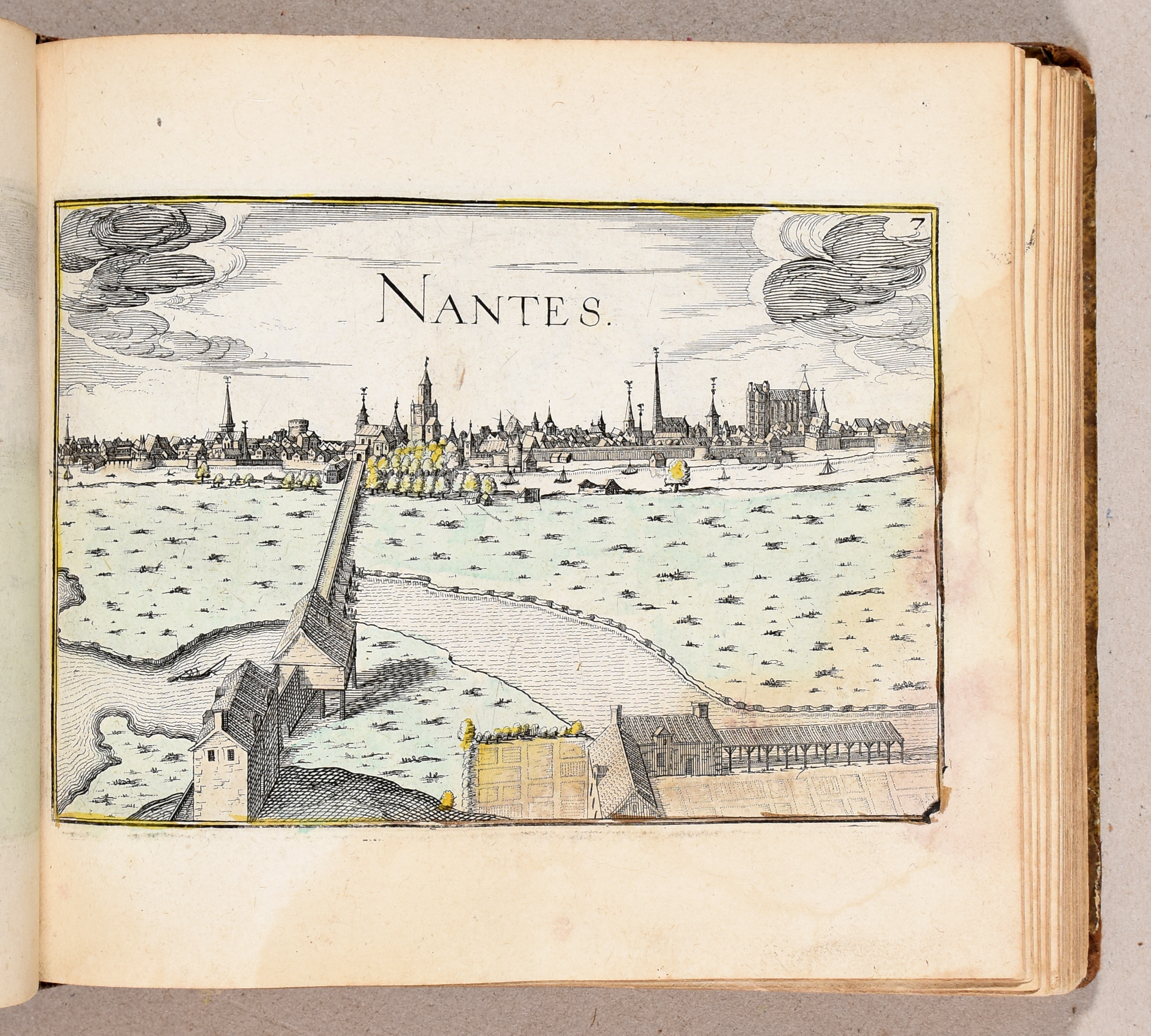
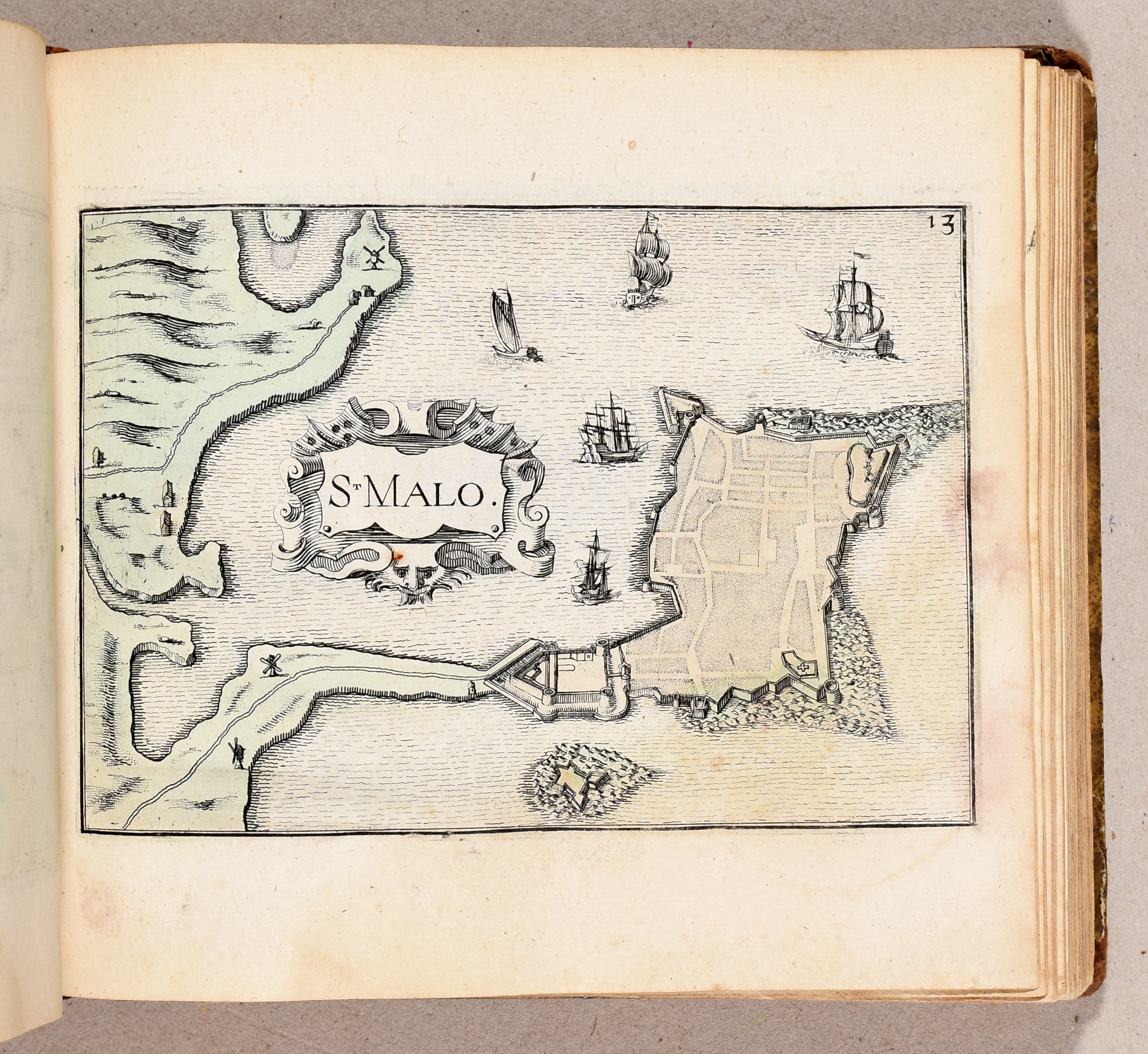
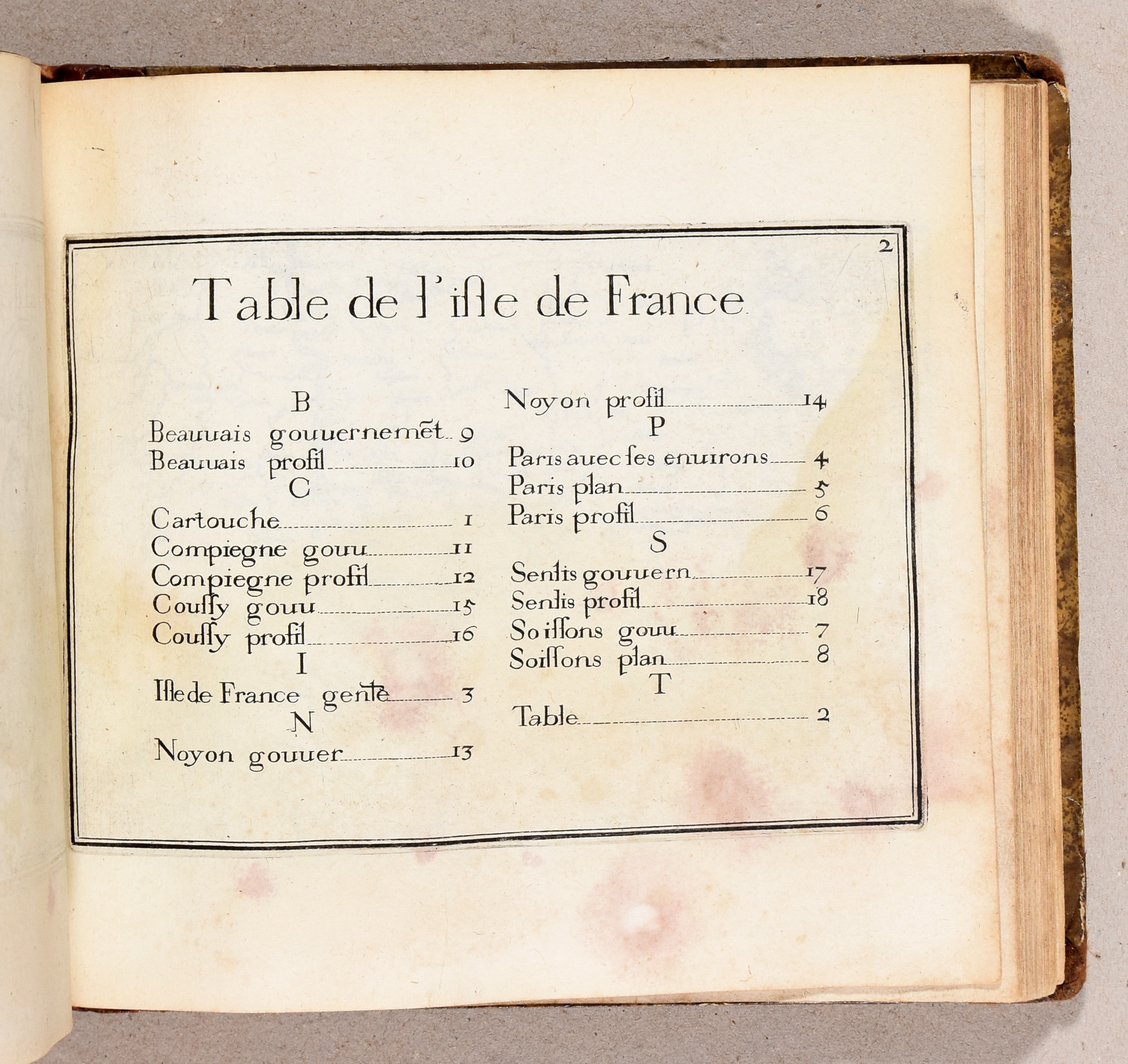
Obl. 4to: 39 pp.; 204 maps (first 2 partial titles bound after general title instead of after text ff., few maps wrongly bound, lower edges of first ff. underlaid and restored, lower corner map Mont Hulin restored on verso, some (extensive) damp stains throughout).
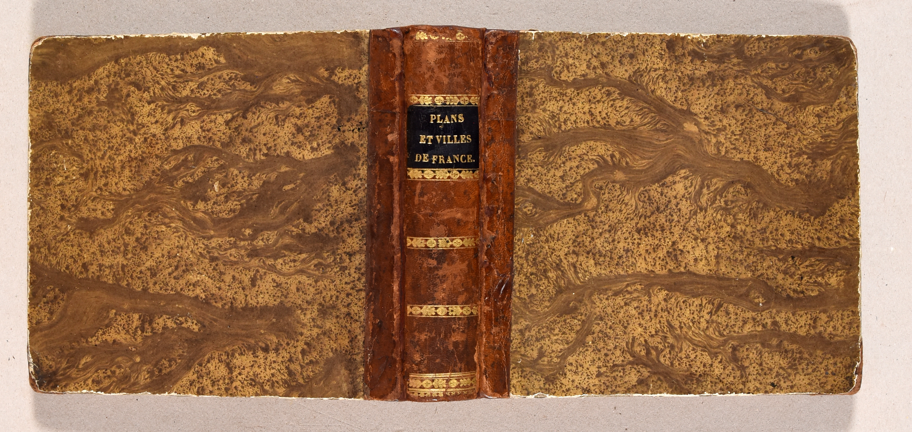
19th-c. quarter sheep, marbled paper boards (spine rebacked, lightly rubbed, corners bumped).
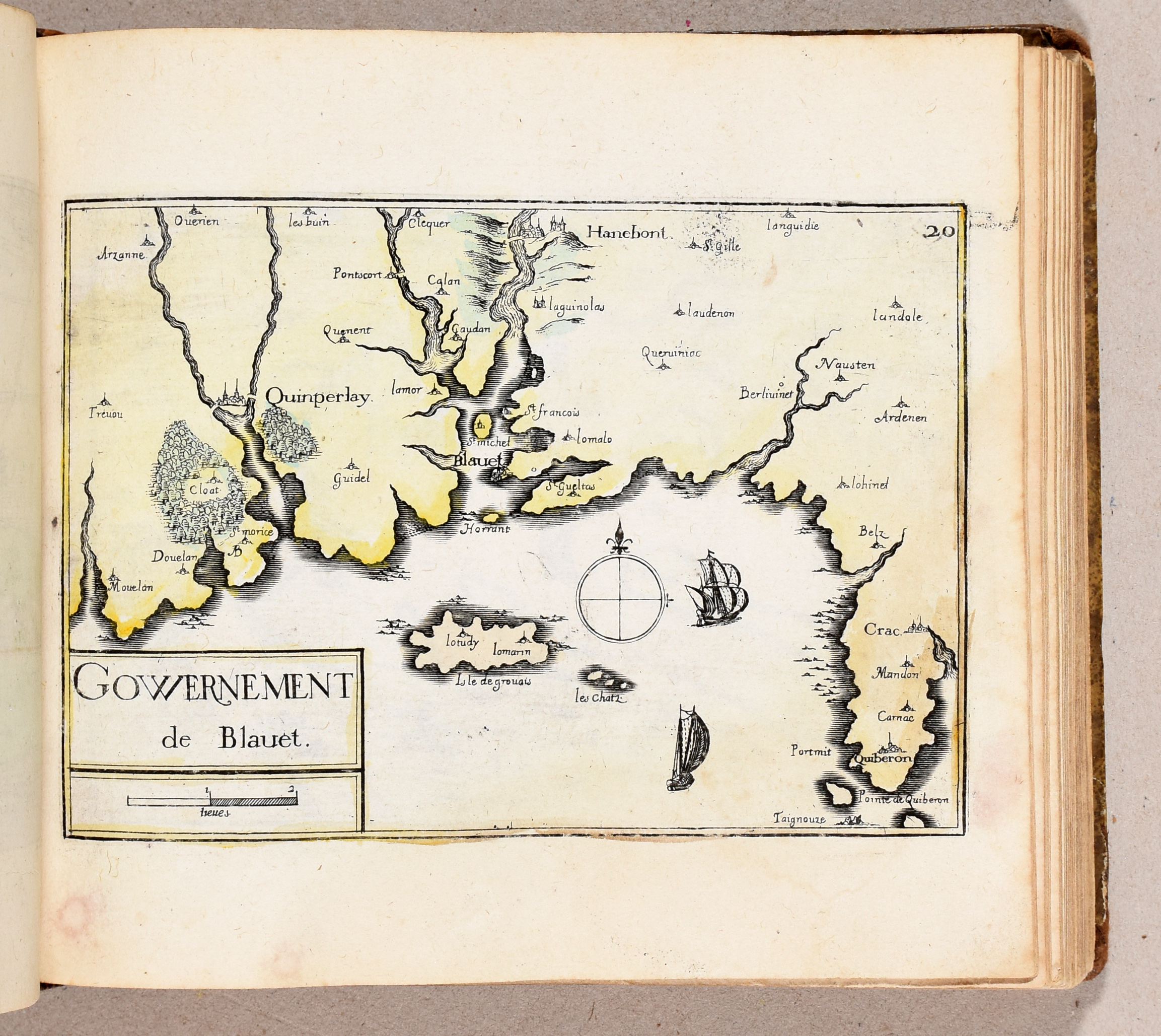
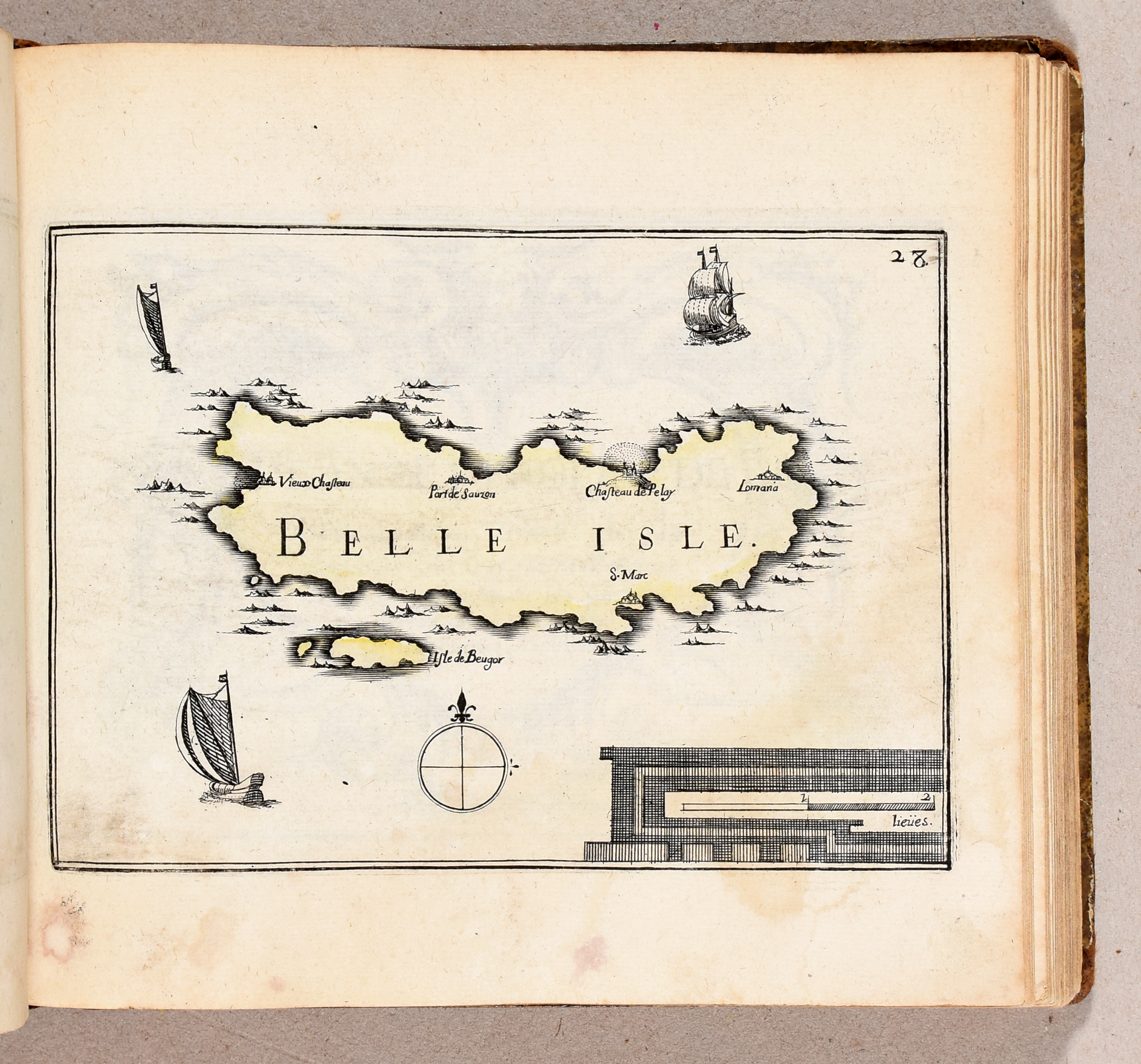
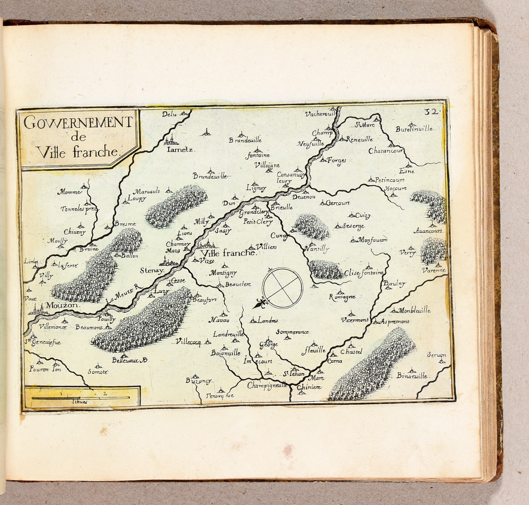
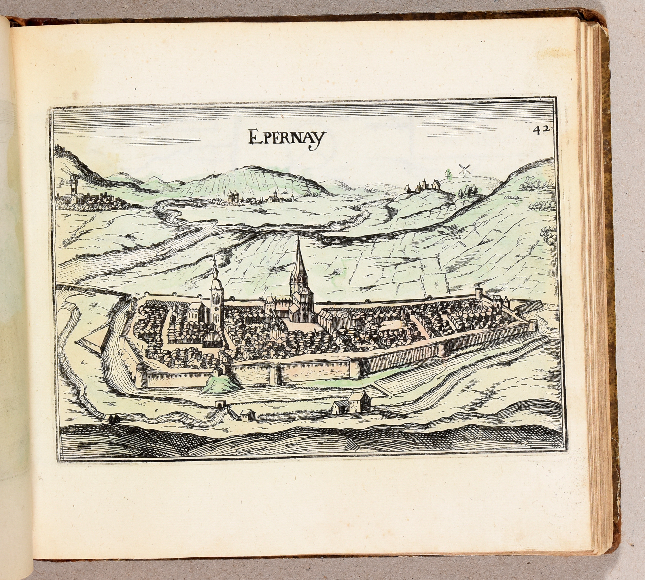
Magnus opus (1st 1634) of Tassin, French cartographer, containing maps, views and plans of French cities. Complete with 204 maps, many (partly) hand-coloured, (45 on Picardy, 26 on Brittany, 52 on Champagne, 25 on Normandy, 16 on Île-de-France, 25 on Lorraine, 15 on Brie) and the 15 ff. (partial titles and tables).
Ref. Pastoureau, Tassin VII-Ca.
More photos