Live auction - Lot 971
[Zeeland]
4 maps.
18th-19th c
Hammer price: €
120
€ 120 / 150
Live bidding (Drouot*) Live bidding (Invaluable*)Bidding is closed
Lot description
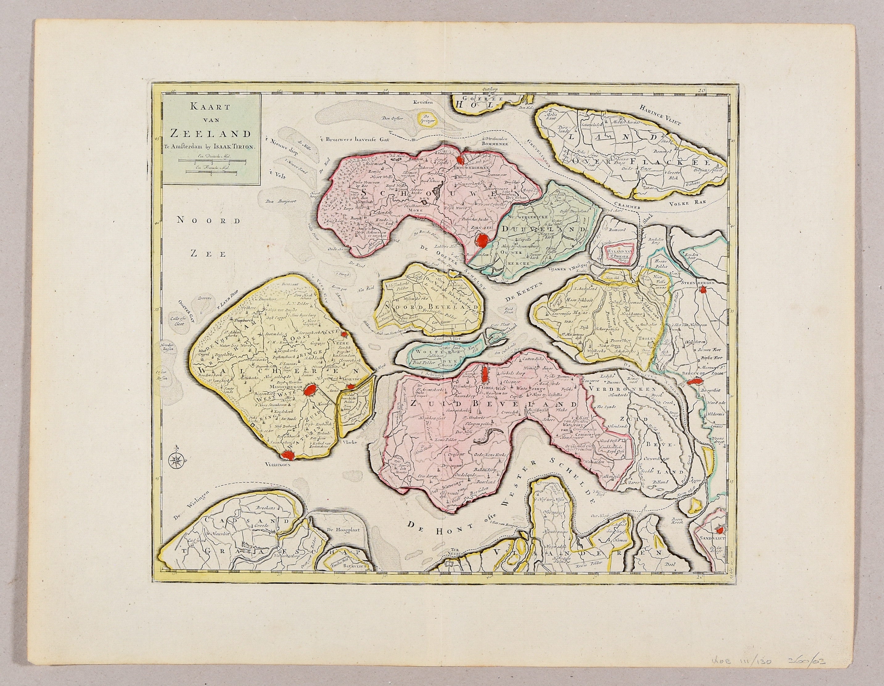
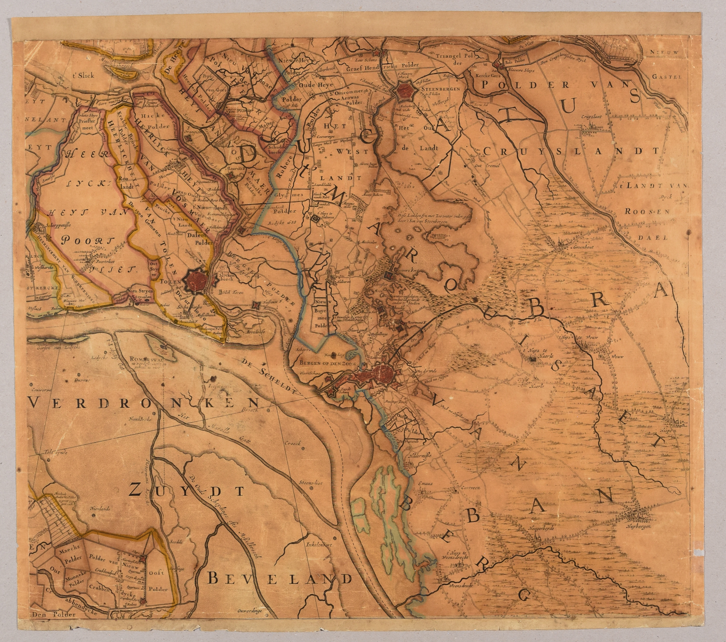
Engr., c. 33,2/46,5 x 39/56 cm, partly or fully hand-coloured (traces of central folds).
1. Visscher; Roman - [Zelandiae comitatus. Amst., 18th c.]. (Toned, edges frayed, some sm. tears and holes). Mounted on paper. 6th part of the well known wall map. - 2. Zeeland. [Leeuwarden, Halma, c. 1744]. 2nd state. - 3. Zeeland. Amst., Tirion, [after 1750]. 3rd state of the same map as 2. - 4. Desterbecq, F. - Kaart van de provincie Zeeland [...]. The Hague, Desterbecq, 1840. 1st state, published in "Atlas van het Koningryk der Nederlanden [...]".
Ref. Rijksmuseum, inv. RP-P-AO-15-13B-6 (1). - Zelandia Comitatus 41 (1), 61.2. (2), 61.3. (3), 110.1. (4).
More photos